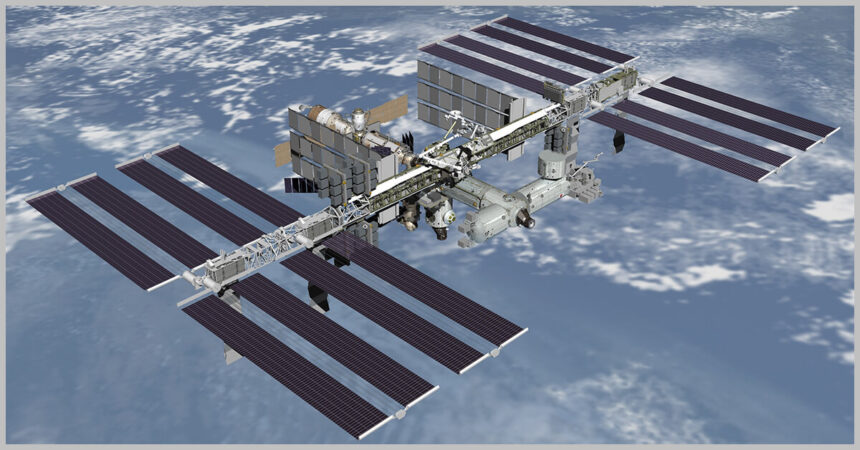
The International Space Station National Laboratory is sponsoring a joint project between aerospace company Boeing and the Commonwealth Scientific and Industrial Research Organisation, the Australian government’s scientific research agency, to test a new 3D method for mapping remote environments.
The lab said the collaboration, called the Multi-Resolution Scanner project, will use one of the free-flying NASA Astrobee robots on the space station to test rapid 3D mapping of celestial bodies, such as the ISS, the moon and Mars, in unprecedented detail.
SpaceX’s 30th Commercial Resupply Services mission delivered the MRS tooling to the space station in March.
Marc Elmouttie, research group leader at CSIRO, said the MRS attached to the Astrobee robot features multiple sensors with combined capabilities compensating for any individual weakness. Such a combination “provides very high-resolution 3D data and more accurate trajectory data to understand how the robot moves around in space,” he added. The scanner will initially create 3D maps of the space station’s Kibo module.
Scott Copeland, Boeing’s director for ISS research integration, view the MRS as “a powerful tool” supporting the company’s commitment to provide better capabilities and safer trips to the moon and beyond.
According to the ISS National Lab, MRS mapping capabilities, if proven, could be expanded to cover other space station modules for the benefit of future space exploration, especially missions utilizing robots. Possible future uses include scouting for valuable resources and pinpointing spacecraft damage in space. The technology could also be used in areas such as mining, disaster relief and other applications on Earth.


